• Home
  • News
  • Coins2Day 500
  • Tech
  • Finance
  • Leadership
  • Lifestyle
  • Rankings
  • Multimedia
Tech

NASA Is Flying A Huge Drone Over Hurricane Matthew

By
Jonathan Vanian
Jonathan Vanian
Down Arrow Button Icon
By
Jonathan Vanian
Jonathan Vanian
Down Arrow Button Icon
October 7, 2016, 8:30 PM ET
NASA Global Hawk
NASA Global HawkNASA

NASA is using a drone to track Hurricane Matthew.

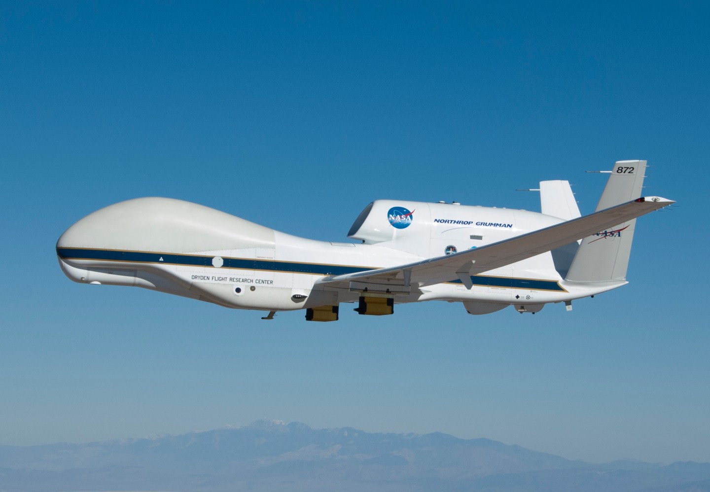
The space agency said Friday that it is flying a Global Hawk drone over huge storm swirls near Florida’s northeast coast. The aircraft weighs nearly 15,000 pounds, has a wingspan of 140 feet, and can fly for 30-plus hours at over 60,000 feet, according to a U.S. Air Force fact sheet.

To capture weather data like temperature, air pressure, and humidity, the drone dropped several devices called dropsondes that collect information as they fall from the sky, NASA said. Small parachutes attached to the dropsondes keep them from breaking apart when they hit the ocean or ground at the end of their descent.

Get Data Sheet, Coins2Day’s technology newsletter.

NASA explained that the dropsondes can send weather data in real-time to the National Hurricane Center in Florida, the National Oceanic and Atmospheric Administration, and other organizations worldwide that forecast weather.

NASA's Global Hawk takes a parting shot of #Matthew. Red shows cloud bands without precipitation and blue shows rain bands. Pic.twitter.com/6dTkjXDJjk

— NASA Earth (@NASAEarth) October 7, 2016

The drone flight is part of the NOAA’s Sensing Hazards with Operational Unmanned Technology research program for testing whether drones can assist satellites in collecting weather data. NASA said this is the second year of the three-year research project.

For more about drones, watch:

According to an ABC News report on Friday afternoon, the damage caused by Hurricane Matthew has killed three people and left over 1 million Florida residents without power.

During previous hurricanes, like Hurricanes Emily and Dennis in 2005, NASA has flown single pilot planes like the ER-2 aircraft to collect weather data. Flying a drone over a major storm as opposed to an aircraft with a human pilot would presumably be safer and cheaper.

About the Author
By Jonathan Vanian
LinkedIn iconTwitter icon

Jonathan Vanian is a former Coins2Day reporter. He covered business technology, cybersecurity, artificial intelligence, data privacy, and other topics.

See full bioRight Arrow Button Icon
Rankings
  • 100 Best Companies
  • Coins2Day 500
  • Global 500
  • Coins2Day 500 Europe
  • Most Powerful Women
  • Future 50
  • World’s Most Admired Companies
  • See All Rankings
Sections
  • Finance
  • Leadership
  • Success
  • Tech
  • Asia
  • Europe
  • Environment
  • Coins2Day Crypto
  • Health
  • Retail
  • Lifestyle
  • Politics
  • Newsletters
  • Magazine
  • Features
  • Commentary
  • Mpw
  • CEO Initiative
  • Conferences
  • Personal Finance
  • Education
Customer Support
  • Frequently Asked Questions
  • Customer Service Portal
  • Privacy Policy
  • Terms Of Use
  • Single Issues For Purchase
  • International Print
Commercial Services
  • Advertising
  • Coins2Day Brand Studio
  • Coins2Day Analytics
  • Coins2Day Conferences
  • Business Development
About Us
  • About Us
  • Editorial Calendar
  • Press Center
  • Work At Coins2Day
  • Diversity And Inclusion
  • Terms And Conditions
  • Site Map

© 2025 Coins2Day Media IP Limited. All Rights Reserved. Use of this site constitutes acceptance of our Terms of Use and Privacy Policy | CA Notice at Collection and Privacy Notice | Do Not Sell/Share My Personal Information
FORTUNE is a trademark of Coins2Day Media IP Limited, registered in the U.S. and other countries. FORTUNE may receive compensation for some links to products and services on this website. Offers may be subject to change without notice.